England has been hit by a lot of flooding, even washing bridges away. OpenStreetMap is there, keeping the map up to date by removing the bridges from the map:

England has been hit by a lot of flooding, even washing bridges away. OpenStreetMap is there, keeping the map up to date by removing the bridges from the map:
When this bridge washed away? URL to news is requested.
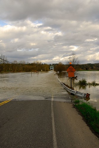
“This road into Duvall, WA leads to a bridge which crosses the Snoqualmie River in the Carnation Valley (approx 25 miles east of Seattle). It regularly floods following heavy rainfalls.”
That’s the comment on the Flickr photo linked to here. But the map seems to be showing a bridge at Workington at the mouth of the Cocker. Clarification please?
@Charles, the picture is just for illustration, not an actual picture of this particular flooding incident which is in the north of England.
News coverage:
http://news.bbc.co.uk/1/hi/england/cumbria/8375623.stm
http://news.bbc.co.uk/1/hi/uk/8374539.stm